The United States Coast Pilot, Volume 1, covers the Atlantic coast from Eastport, Maine, to Cape Cod, Massachusetts. It is a paperbound book of approximately 340 pages, last revised in its 56th edition in April 2025, and available free of charge as a PDF from the NOAA Office of Coast Survey.
It is not a chart. It is a companion to charts, and on many questions it is the only source that addresses what a chart cannot.
On the question of, for example, what the holding ground is like at a particular anchorage, the chart tells you the depth and, sometimes, a one-letter abbreviation indicating mud, sand, rock, or weed. The Coast Pilot tells you, in plain English, that the holding in Pulpit Harbor on North Haven, Maine, is excellent in mud but that the anchorage can become crowded in July and August.
On the question of what the local fishing community needs from a transient skipper, the chart says nothing. The Coast Pilot says that lobster pots are densely set in the approaches and that vessels should reduce speed and post a bow watch.
On the question of how to enter a harbour at night, the chart shows the marks. The Coast Pilot describes, in sequence, what the marks look like, what their characteristics are, and what landmarks they line up with from seaward.
There are nine volumes covering the entire United States coastline and Great Lakes. The Coast Guard publishes a similar series, the U.S. Coast Pilot for the Pacific Coast and Pacific Islands, and the British Admiralty publishes the comparable Sailing Directions, often called the "Pilots," covering most of the world's coastlines.
The British Pilots are, in many places, the only narrative descriptions available for remote coasts.
Volume A through Volume E of the Admiralty list covers, between them, the entire world ocean. They are revised on a multi-year cycle and supplemented by weekly Notices to Mariners.
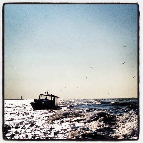
On a quiet evening in early June, the writer sat in the cockpit of a friend's 36-foot ketch at a mooring in Castine, Maine, with a tablet showing chart 13309 and a paperbound copy of the Coast Pilot Volume 1 open on his knee.
He compared the two for the same stretch of coast.
The chart told him that the entrance to Smith Cove, half a mile south of his mooring, carried 13 feet at low water through a marked channel. The Coast Pilot told him that the channel is narrow, that the bottom is rock and weed, that the wind funnels through the entrance in southerlies, and that the prudent course in heavy weather is to anchor further south in the lee of Holbrook Island instead.
None of this is on the chart. None of it could reasonably be on the chart.
The Coast Pilot is also where the chart's footnotes live, expanded into paragraphs. Notes about local regulations, restricted areas, marine sanctuary boundaries, fishing closures, and ferry routes all appear in the Coast Pilot in prose form, usually with the source authority cited.
On the question of how to call the harbormaster, the chart says nothing. The Coast Pilot gives the VHF channel.
On the question of where to get diesel, the chart shows a fuel symbol if there is one. The Coast Pilot lists the depths alongside the fuel dock, the hours of operation in season, and whether the operator accepts credit cards.
This last detail goes out of date faster than the rest of the book, but it is, when it is current, useful.
The Coast Pilot is updated continuously online. Each volume's web edition is revised whenever a Notice to Mariners requires it. The paperbound editions are revised on a multi-year cycle, with the most recent revision of Volume 1 dated April 2025 and the next expected, on current schedule, in 2030 or 2031.
The PDF is free. The print edition costs about $39 from a NOAA chart agent and is, in the writer's view, the best $39 a coastal cruiser can spend.
The British Sailing Directions cost rather more, on the order of $80 to $120 per volume, and are sold by chart agents in major ports.
Neither is glamorous. Neither is recommended to a beginning skipper by anyone who has not personally been embarrassed by what a chart did not tell them. Most cruisers, in 2026, do not own a current copy.
Those who do, tend to keep it within reach of the chart table and to read the relevant section before any unfamiliar landfall.
It is, like the lead line and the hand-bearing compass, an old tool. It is, also like them, still doing the work.
Filed under