At 06:40 on 28 May 2026, the tide began to flood through the Fox Islands Thorofare, the narrow channel between North Haven and Vinalhaven in the middle of Penobscot Bay. By 07:30 the current at the eastern entrance was running at 2.4 knots. By 09:00 it had built to 3.1 knots.
At those speeds, a 32-foot cruising sloop motoring against the current at 5.5 knots through the water makes good a speed over ground of 2.4. The same boat, with the tide, makes 8.6.
Whether to fight the tide or wait for it is the first question a Maine coast sailor asks each morning. The second is what the tide will do at every constriction along the day's route.
The Fox Islands Thorofare is one of three or four major tidal constrictions on Penobscot Bay. The others are the Eggemoggin Reach entrance off Naskeag Point, the Western Penobscot Bay channel between Owls Head and Monroe Island, and the upper reaches of the Bagaduce River off Castine.
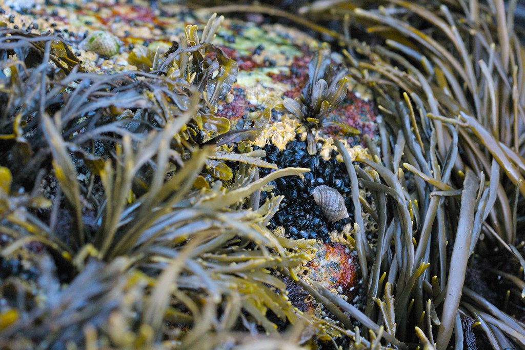
At each, the tidal current can exceed three knots at peak flow. At each, the geometry of the channel produces standing waves and turbulent eddies along its edges. The waves are not dangerous to a properly handled boat. They are uncomfortable, and they require attention.
Per Lindgren, who served twelve years as a Swedish naval hydrographer before he turned to writing about charts and weather, spent three days aboard the sloop Hjalmar, a 1986 Sabre 32 owned by a retired schoolteacher from Camden named Walter Voss.
Walter Voss has sailed Penobscot Bay since 1971. He bought Hjalmar in 2004. He no longer keeps a chart plotter active at the navigation station. He carries his iPad with Aqua Map for backup. The primary navigation is by paper chart, dividers, and the running ledger of currents he has built in his head over fifty-five seasons.
"You can read it on the water," he said on the morning of 28 May, motoring out of Camden inner harbour at 06:15. "You do not need a calculation. You need to look."
What he was looking at, by the time Hjalmar reached the western entrance of the Thorofare an hour later, was a line of small standing waves along the southern shore. The waves were perhaps thirty centimetres high. They were stationary against a moving body of water, which is the definition of a standing wave.
Standing waves form where a current encounters a fixed obstruction or a sudden change in depth. The water piles up on the upstream side and accelerates over the obstruction, creating a wave train downstream. To a moving boat, the waves appear to be travelling toward the bow at the speed of the current.
In the Thorofare, the standing waves marked the deeper channel against the shallower shoreline. Walter steered to the south of them, into the slightly slower water near the shore, where Hjalmar made better progress against the flood than she would have in the main channel.
Half an hour later, near Crabtree Point, he picked up a small back eddy and gained another half knot. The eddy was visible from the cockpit as a smooth oval of water about thirty metres across, just downstream of a small rocky promontory. Walter steered into it and let the eddy carry the boat for two hundred metres before the geometry of the shore pushed him back into the main current.
"That is the trick," he said. "Read the shape of the shore. Every point has a back eddy. Every bay has a slack. The chart shows you where they are. The water shows you whether they are working today."
The chart he was using was NOAA 13305, Penobscot Bay, scale 1:80,000. The chart was last fully updated in 2019. Walter has carried the same chart, with annotations in 4H pencil and red ink, since the 2019 update.
His annotations are mostly personal. Lobster trap field, dense, June through September. Granite ledge dries 0.4m at LLW. Eddy works on flood, not ebb. The eddy at Crabtree Point is marked with a small red circle and the notation WV 1988.
WV 1988 is the year Walter Voss first sailed through Crabtree Point and noticed the eddy. He has used it on roughly six hundred passages since.
By 10:30 on 28 May, Hjalmar had cleared the eastern end of the Thorofare and was beam-reaching south toward Vinalhaven's Carvers Harbor on a light southwest breeze. The flood tide was still running, but in the open water of East Penobscot Bay its effect on the boat was negligible. The day's tidal piloting was effectively over.
Walter put the kettle on the alcohol stove in the galley and made tea. Per Lindgren took the helm. The Sabre 32, on a beam reach in five knots of wind, sails herself for long stretches.
At 11:14, Walter came back up the companionway with two mugs. He looked east across the bay toward Isle au Haut and the open Atlantic beyond it. He said, "You read it right today."
He was speaking to the boat. He was, possibly, speaking to the tide. He was, in any case, satisfied. The kettle whistled once below, and the sloop kept going.
Filed under