At 5:42 a.m. on 22 May 2026, the tide at Burntcoat Head, on the south shore of the Minas Basin, was 0.6 metres above chart datum. At 11:58 a.m., it was 16.4 metres. The interval was six hours and sixteen minutes.
In that interval, the water rose at an average rate of two and a half centimetres per minute. Near the middle of the rise, it ran at more than four centimetres per minute. A child could watch the tide climb the basalt and see the line moving.
The Bay of Fundy holds the largest tidal range on Earth. The Guinness measurement, taken at Burntcoat Head on 4 October 1869, recorded 16.8 metres. Modern surveys, run by the Canadian Hydrographic Service and the Bedford Institute of Oceanography, place the long-term mean spring range at the head of the basin between 14.5 and 16.0 metres, depending on the year.
The reason is resonance. The Bay of Fundy, from its mouth between Grand Manan and Brier Island to the head of the Minas Basin, is about 270 kilometres long. The natural period of a tide-wave oscillation in a basin of that length and depth is roughly 13.3 hours. The lunar semi-diurnal tide arrives every 12.42 hours.
Those two numbers are not equal. They are close enough.
In any system where a driving frequency falls near the natural frequency, the amplitude of the response grows. The Bay of Fundy is a tuning fork that the moon strikes, twice a day, with not quite the right note.
The result is a wave that builds as it travels up the bay. At the mouth, near Yarmouth, the tidal range is about four metres. By Saint John, halfway up, it is around eight. At the head of the Minas Basin, it exceeds sixteen.
Lavinia Sinclair, who has written about North Atlantic fisheries for nearly two decades, first saw the Minas tide on a school trip from Halifax in 1988. She remembered the smell of the mud more than the height of the water.
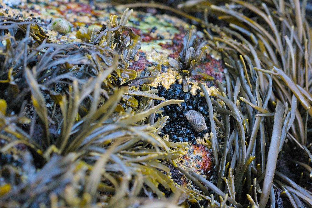
The mud is part of the story. Roughly 100 billion tonnes of water moves in and out of the bay every tide cycle. Most of it carries silt. The Minas Basin's intertidal flats, measured at low water, exceed 200 square kilometres. At high water they are gone.
On those flats, in late May, the semipalmated sandpipers stop on their way north. The basin is the most important migratory stopover for the species in the western hemisphere. Two million birds pass through every spring, fattening on the amphipod Corophium volutator, which lives in the mud at densities of up to 60,000 per square metre.
The amphipods do not seem to mind being submerged twice a day. The sandpipers do not seem to mind either. The cycle is older than either of them.
At Wolfville, on the south shore, the Acadia University tide gauge has been recording the basin tides continuously since 1965. The station's records show a slow upward creep in the height of the highest annual tides, partly from sea level rise and partly from a small ongoing decrease in the bay's effective length as sediment fills in at the head.
The decrease in length should, in theory, push the natural period of the bay slightly closer to the lunar period. Some modellers expect the tidal range to grow by a small fraction over the next century. Others expect it to shrink. The numbers depend on assumptions about sediment supply that no one quite agrees on.
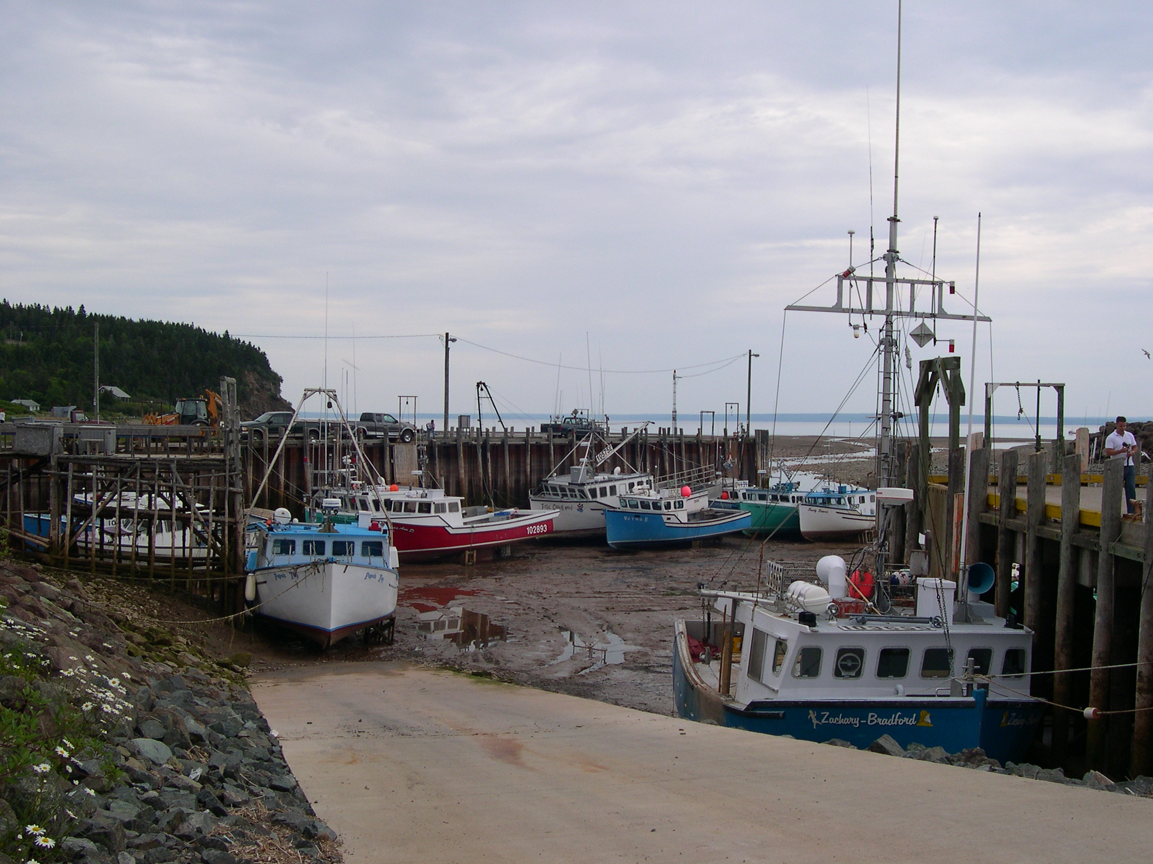
What does not change, in the meantime, is the daily fact of the thing. At Hall's Harbour, on the north shore, the lobster boats sit on the mud at low water like cattle in a field. At high water they float. At low water the harbour wall stands eleven metres above the keels.
The tourist boats from Parrsboro run a half-day rafting trip on the tidal bore that pushes up the Shubenacadie River. The bore is small by Amazon standards. It is, however, reliable, twice a day, and it can be paddled.
At the Burntcoat Head Provincial Park, the interpretive panel near the lighthouse has a single line that has been printed in the same place for years: The water you see at low tide will be sixteen metres above your head at the next high tide.
It is a fact that takes a while to make sense.
On 22 May, an older couple from Truro stood at the railing at 11:00 a.m. They had arrived at 6:00 to see the low water and stayed five hours. The man pointed at the wet line on the rock and said, "It was down there."
The woman did not look up. She said, "I know. I watched it."
The tide reached its high six minutes later. The basalt that had been bare at dawn was thirteen metres under water. The lighthouse, on its grass platform, was still the same height above the sea it had always been.