Charts
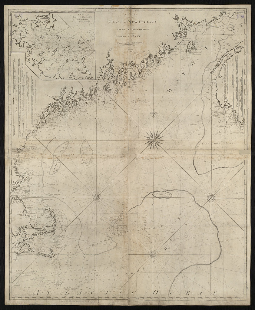
Scale, Generalization, and the Lies a Chart Must Tell
Every chart smooths the coastline. A close look at three NOAA charts of the same Massachusetts shore, at scales of 1:80,000, 1:40,000, and 1:20,000, shows what each one chooses to leave out, and why.